
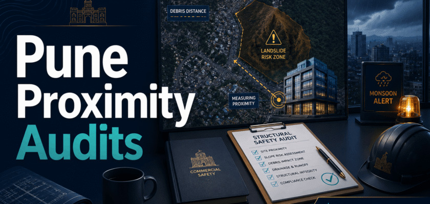
High-Risk Proximity Audits: Why the Pune Landslide Discrepancies Demand Real-Time Satellite Mapping for Commercial Zoning
Quick Summary
Fresh satellite-image reporting has raised serious questions after the Pune landslide at the Moshi landfill site. The reported distance between the garbage mound and the office building may have been far lower than the civic claim. That is why a Pune commercial zoning structural safety audit 2026 is now more than a paperwork issue. It is a real public safety need.
What Happened in Pune
A large garbage mound reportedly collapsed at the Moshi landfill in Pimpri-Chinchwad after heavy rain.
The debris hit the office of a waste-to-energy plant. Rescue teams, fire officials, police, and NDRF personnel were involved in the response.
Officials had said the building stood about 30 metres away from the garbage mound. However, satellite-image measurement reported by Indian Express showed the distance was closer to 16 to 17 metres before the collapse.
That gap matters. It changes how planners look at buffers, commercial zoning, safety approvals, and monsoon risk.
Why the Distance Discrepancy Matters
A few metres can decide whether a workplace remains safe during a slope failure or debris collapse.
In commercial zones, distance buffers are not only lines on a map. They protect workers, equipment, access roads, utilities, and emergency exits.
Therefore, the Pune landslide discrepancy should not be treated as a small technical debate. It shows why real-time satellite mapping and ground audits must work together.
Pune Commercial Zoning Structural Safety Audit 2026
A Pune commercial zoning structural safety audit 2026 should begin with clear digital maps. These maps must show every risky edge near landfill mounds, hillsides, retaining walls, drainage lines, and worksite buildings.
Next, local authorities should compare approved drawings with satellite images. They should also verify the same distance on the ground.
This matters because an approved plan can become outdated after dumping, excavation, erosion, or new construction.
So, one-time permission is not enough for high-risk sites. These sites need repeated audits before and during the monsoon.
Why Satellite Mapping Helps
Satellite images can show changes that paper files may miss.
They can track new debris piles, slope cuts, drainage blocks, access changes, and shrinking buffer zones.
For commercial zoning, this can create an early warning layer. It can also help officials check whether a site still matches the approved safety distance.
This is the main reason landslide debris distance satellite tracking data should become part of urban approval systems.
The Role of Hilly Real Estate Construction Safeguard Laws
Pune and nearby hill-edge markets are growing fast. Many projects sit close to slopes, cuttings, quarries, roads, and waste or utility infrastructure.
That growth needs stronger hilly real estate construction safeguard laws.
These laws should require slope-risk maps, pre-monsoon inspections, retaining-wall checks, drainage clearance, and emergency exit verification.
Developers should also disclose nearby slope and debris risks to buyers, tenants, and workers.
What Buyers and Tenants Should Check
Commercial buyers should not look only at rent, road access, and appreciation.
They should ask for site safety audit records, structural reports, drainage plans, slope distance maps, and monsoon-risk certificates.
Tenants should also check whether the site has safe entry and exit routes. A building may look strong, but access roads can fail first during heavy rain.
In risky zones, the best deal is not the cheapest unit. It is the safest legally approved unit.
What Authorities Should Change Now
First, civic bodies should update commercial zoning maps with satellite and drone layers.
Second, high-risk sites should get fresh safety clearance before the monsoon.
Third, emergency teams should get live site maps before rescue begins.
Finally, public dashboards should show basic risk categories without exposing sensitive security details.
Real Estate Impact
This event can change how investors price risk in Pune.
Premium locations may still attract demand. However, projects near unstable slopes, landfill edges, or blocked drainage lines may face tougher questions.
As a result, transparent audits can become a selling point. Unsafe proximity can become a discount factor.
Conclusion
The Pune landslide discrepancy is a warning for every fast-growing commercial zone.
A Pune commercial zoning structural safety audit 2026 should not depend only on old files or verbal claims.
It should use satellite images, ground checks, slope data, drainage audits, and clear accountability.
Only then can commercial growth stay profitable without putting workers and investors at avoidable risk.


